
7 min read
Major Takeaways
- More than 17 inches of rain fell in parts of the Florida east coast since Tuesday, and more rain is coming through Saturday.
- Rescuers pulled more than 100 people from flooded homes in Brevard County, and about 65 homes in one community were ordered evacuated.
- The St. Johns River near Cocoa broke a record set in 1953 and will stay high into next week.
- The storm now turns up the coast, bringing rain and gusty winds to Georgia, the Carolinas and the Northeast this weekend.
- For Black families, the bill comes due in denied claims, lost work and flooded rentals long after the water drops.
Florida flooding is forcing families out of their homes by boat on the Space Coast. Streets in Cocoa look like canals, and cars sit under water in Port Orange.
The rain is not done, and neither is the storm. Forecasters say the system now turns up the East Coast just as Thanksgiving travel begins, and our news coverage will follow it north.
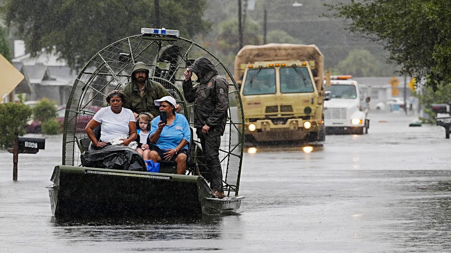
Residents are evacuated by boat from Catalina Village in Cocoa, Florida, on November 19. Photo credit: Craig Bailey, Florida Today, via Reuters
17 Inches Of Rain And A County Under Water
Parts of the Florida east coast have taken more than 17 inches of rain since Tuesday. Several places have already logged their wettest November on record.
Fort Lauderdale took nearly 17 inches in just 48 hours earlier this week. Melbourne and West Palm Beach also set November rainfall records.
The risk map tells the story. The Space Coast from Cape Canaveral to Daytona Beach sat under a rare Level 4 of 4 high risk for flooding rain through Friday night.
Forecasters issue that highest risk on fewer than 4 percent of days in a year. Those days account for more than 80 percent of flood damage and 36 percent of flood deaths nationwide.
On Friday the warnings stretched about 200 miles, from south of Melbourne to Jacksonville. Two to six more inches were expected through Saturday, with eight to ten possible in the hardest hit spots.
The National Weather Service warned Friday morning that severe and widespread flash flooding is expected. It said places that normally do not flood will flood, and lives and property are in great danger.
Boats In The Streets Of Cocoa And Palm Bay
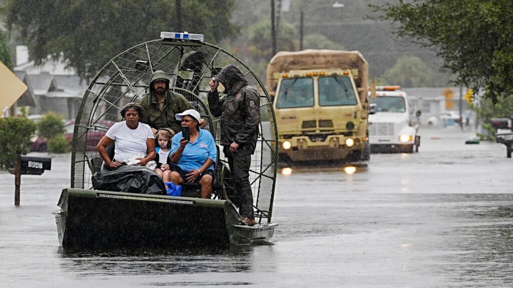
Rescuers moved residents out of Catalina Village in Cocoa by airboat on Thursday. Water rose around their homes as heavy rain bands kept soaking the county.
Brevard County spokesperson Don Walker said more than 100 people had been rescued by the end of Thursday. Most were pulled from flooded homes, and rescues were still going on Friday morning.
In Palm Bay, about 65 homes in the Palm Bay Estates community were ordered evacuated on Thursday. A washed out bridge cut the only access road, so crews brought residents out by boat to a temporary shelter.
The rest of that community, built for residents aged 55 and older, was urged to leave on a voluntary basis. Ten more people were evacuated elsewhere in Palm Bay, and no injuries were reported in the city.
The same stretch of Port Malabar Boulevard washed out again on Thursday, days after it reopened. The road had just been repaired from the floods that hit earlier this month.
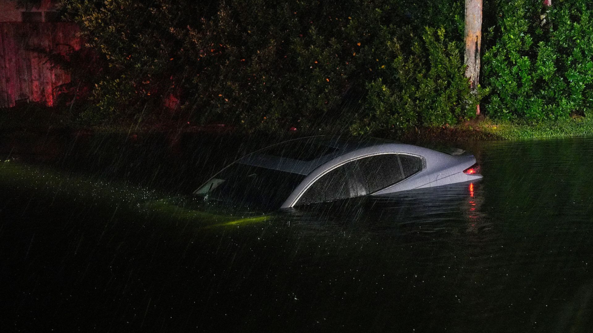
A car sits submerged in a flooded drainage canal in Port Orange, Florida, on November 19. Photo credit: Nadia Zomorodian, Daytona Beach News Journal, via Reuters
The rescues were not only people. Neighbors with trailers waded through knee deep water in Cocoa to save dozens of horses at the Blue Lake Equestrian Center.
Nearly 200 Florida National Guard members deployed with 50 high water vehicles. About 235 state wildlife officers joined the response up and down the coast.
Schools in Brevard County stayed closed Friday for a second straight day. Brevard students will not return until November 30, after the Thanksgiving break.

A River Breaks A Record Set In 1953
The St. Johns River near Cocoa rose past 18 feet on Thursday. That broke the old record of 17.6 feet, set in 1953.
The St. Johns is the longest river in Florida, and it drains very slowly. Forecasters expect it to stay at least two feet above flood stage through early next week.
Flooding in some neighborhoods could last for weeks. Shelters opened in Cocoa and Melbourne for families pushed out of their homes, many of them flooded for the second time in about two weeks.
Flooded Twice, And The Claim Was Denied
Jazmin Foster has lived in her Melbourne home for eight years. Water poured into it on Thursday for the second time in two weeks.
“Never seen such a thing like this in Florida,” she said. Water reached the bedrooms of her two children again, and sewers overflowed around the home.
She said the insurance claim she filed after the first flood was denied. Her question now is simple, and it is angry.
“Where is FEMA? Multiple people here in Brevard need help. I know other people are worse than we are,” she said.
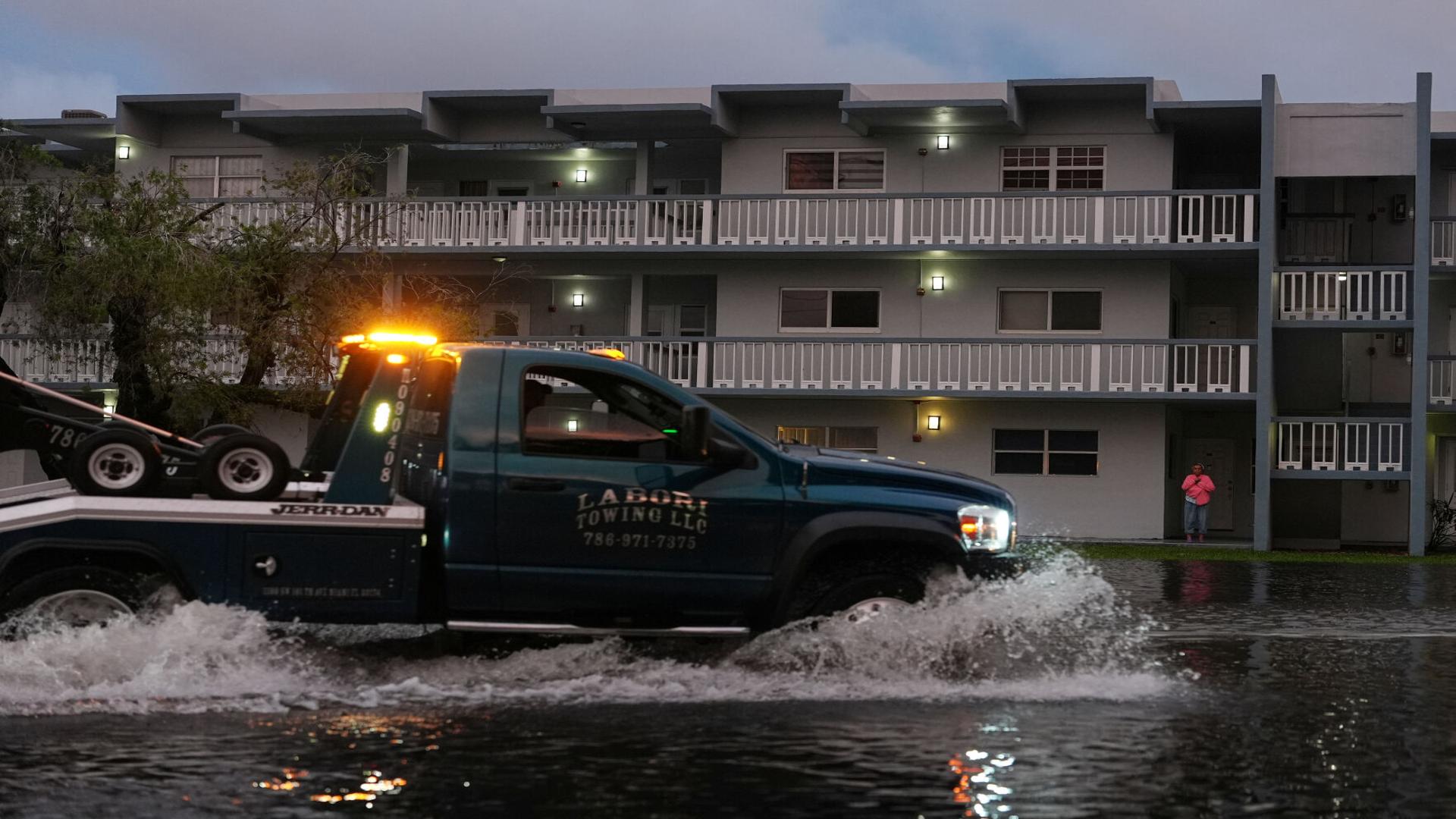
A tow truck pushes through floodwater in front of an apartment building in South Florida this week. Photo credit: Associated Press
That is where floods hit Black families hardest. The water makes the news for a day, but the bills, the mold and the lost wages last for months.
Renters in flooded apartments, elders in mobile home communities and parents working hourly jobs have the least room to absorb a disaster. A denied claim or a missed week of pay can turn a flood into an eviction.

The Storm Turns North For Thanksgiving Week
A new low pressure system forming Friday could become a subtropical or tropical storm off the Southeast coast. If it earns a name, it will be called Kyle.
The name will not change the impacts. Forecasters expect strong gusty winds, dangerous surf, rip currents and coastal flooding from the Southeast to the Mid Atlantic into early next week.
On Saturday, rain and wind expand into coastal Georgia and the Carolinas. Roads could flood and flights could back up from Jacksonville to Charleston.
Historic Black coastal communities, including the Gullah Geechee communities of the Sea Islands, sit right in that path. Storm surge of one to three feet is forecast along much of the Atlantic coast.
On Sunday the rain reaches the Mid Atlantic and the Northeast. Washington airports could see rain from Sunday morning, with Philadelphia and New York dealing with it by afternoon.
Drivers on Interstate 95 from Virginia to New York City should expect slowdowns and ponding on the roads. Rain spreads into New England late Sunday before clearing early Monday.
Gusts of 40 to 60 miles per hour are forecast along parts of the coast, with stronger gusts possible on the Outer Banks. Another storm may follow on Wednesday into Thanksgiving Day.
This Is Supposed To Be The Dry Season
The Florida dry season runs from October to May, which makes this week even harder to accept. This is not hurricane season weather on the calendar, yet homes are under water.
Forecasters tie the pattern to a strengthening El Niño and record warm ocean water off Florida and California. The same pattern flooded parts of the California coast this week as well.
Meteorologist Jeff Masters warned that the calendar offers no comfort. Winter has not even come yet, he said. We are still in November.
El Niño conditions are expected to last through the spring. Florida families should treat this week as a warning, not a one time event.
Check on elders before the water rises, not after. Keep medicine, documents and phone chargers in a bag you can grab, and never drive through flooded roads.
Urban City Podcast will keep tracking this storm as it moves north. If your family is traveling this weekend, leave early, watch local alerts and put safety ahead of the schedule.